The following are pictures from our trip to Fort McRee on the very east end of Perdido Key. We had some friends in from Germany who are doing a "One Year Later" project on the Oild Spill and we wanted to show them some Tarmats that BP seems to continue to "overlook".

The Gulf Islands Nat Seashore sign at Fort McRee.

Our Track

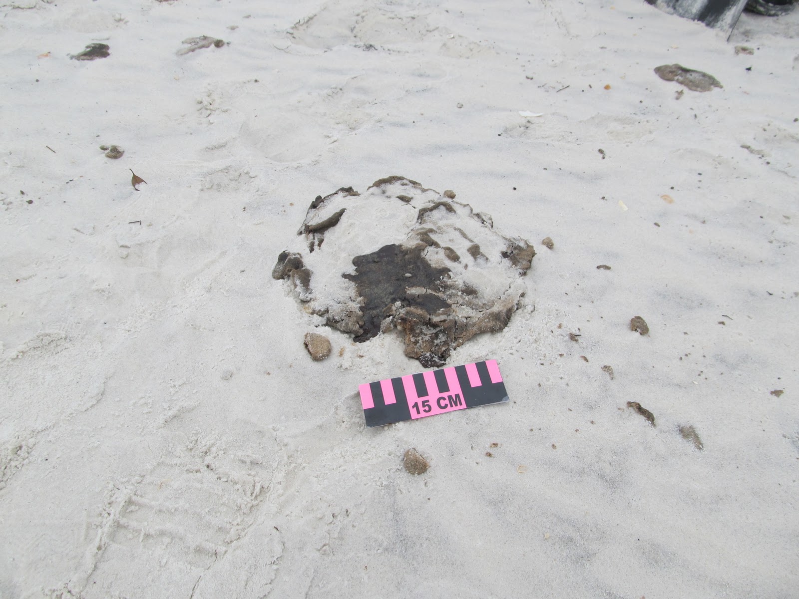
Melting tarmats


Older Oiled Jetty Foundation that is starting to melt and run down the rock!

We have some extremely knowledgable folks who are helping us with locations...

Runny Oil on our beaches ... just what I was hoping for a year later!

If you can look closely in this photo...it's tarmats and tarballs are everywhere. Email me and I will send you the original photo. chuckb61at gmaildotcom.

When I look at this Photo I keep getting the Gilligans Island Theme Song running through my head...... three hour tour...
Really well documented, Chuck! I think that citizen monitoring is the most important way to throw light what is not being told the public. The cetacean deaths are an example of how the gov't is trying to suppress information and avoid setting policy.
ReplyDeleteThanks,
Bill Barnes (in Pensacola; we must be related in some way from way back) !
j9y88a2z81 h7r54c3e20 j6c84m6c33 t6q17r4f11 q1q20a3i70 a7i48i2w21
ReplyDelete